RECREATIONAL TRAILS AND LAND USE

The fear that many land owners have when considering developing recreational trails is the impact this will have on the commercial viability of their current land use e.g. forestry, grazing, water catchment etc.

Whilst these fears are understandable, with the right approach it is more than possible to develop trails with minimal impact on land use, and where land use has minimal impact on the trails. This is something which is a major part of our 'Sustainability Framework', which underpins all our recreational trail designs.

The key is to start out by creating a frame of reference with land owners and managers which will guide the rest of the project and will establish issues such as aims and objectives, the status of any trail development, current land use and recreational use etc. 

In a great deal of cases official trail development takes place to manage unsanctioned recreation on land, which is impacting upon land use, the aim being to resolve these issues. For example, when considering unsanctioned trails in a commercial forestry setting, it is very difficult for foresters to predict the flow of recreational users when the trails are unsanctioned and as forestry can present a hazard to the public, this can affect the liability of the land owners and managers in terms of reducing risk to the public. 

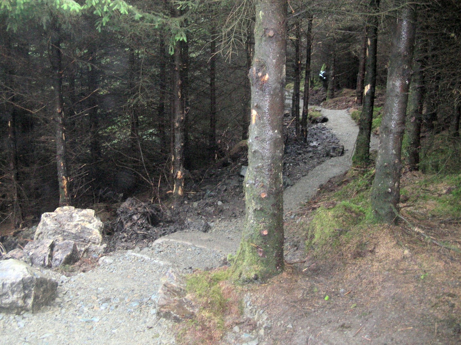
When official trails are put in place, it is much easier to manage the flow of users and to establish diversions and trail closures for the time required for forestry operations. In addition, the trails are protected by their official status - when harvesting takes place, measures are taken to protect any parts of the trails which could be impacted upon, and during the design process, measures are taken to ensure the sustainability of these trails in every sense e.g. raised trails structures placed on top of the land will be greatly impacted upon, whereas it is much less likely that an effective bench cut, designed with harvesting in mind will be damaged.

The same is true for any type of property or land use. Establishing the Frame of Reference on an individual basis for each project is wholly important, there is no such thing as successful trails when taking a 'cookie cutter' approach - each property and its issues are different.

So once again, the point is this - a prescriptive and considered approach to trail development set within the context of a Frame of Reference agreed upon by stakeholders is the way to go about getting THE RIGHT TRAILS, IN THE RIGHT PLACES, IN THE RIGHT WAY.


THE MOURNES - THE MOUNTAIN BIKERS ARE COMING!!!!


The opening of the new 'Mournes Mountain Bike Trails' at Rostrevor and Castlewellan in Spring 2013 is already a much talked about topic. With hundreds of riders already chomping at the bit to get out there (and thanks to all the guys and girls who are being respectful and keeping off the trails whilst under construction) the opening will bring a whole new market to the area which will need to be catered for if the local economy is to benefit to its maximum potential – and the impact could be potentially huge.

A quiet day at Coed y Brenin

Take for example the original trail centre – Coed y Brenin in North Wales. Once the centre opened, so did the floodgates. The visitor numbers to Coed y Brenin increased from around 14,000 a year to in excess of 150,000 a year in 4 years with at least 90% of new visitors being mountain bikers, and 80% of mountain bikers were weekend visitors, resulting in a £5 million a year cash injection into the local economy. 

Local businesses adapted to provide for this new market, including accommodation such as B&B’s and hotels providing secure storage for bikes and kit washing and drying services, the provision of bike hire and repair services, mountain bike shops,  trail guide services and much more.

Rostrevor and Castlewellan together will make for a great weekend’s riding in beautiful scenery and all those mountain bikers will want good grub to eat and a few pints of an evening. If the area really wants to benefit from these trails, local businesses need to be prepared to give mountain bikers the services that they need to make the Mournes a great mountain biking destination.

WEEK 16 AT ROSTREVOR

Below is a selection of pictures showing Section 19 at Rostrevor. The pictures show that it is possible to build a nice flowing trail with lots of features, without having too much impact, and by being sympathetic to the landscape and the setting. However, this could not have been achieved here without a great deal of very careful and time consuming planning and design.


The picture below is Section 20, which links into Section 19 and both sections together should provide a really fun, fast and flowing descent.


The last two pictures show Section 9, which is hidden away at the top of The Fallows. Effective planning and design has enabled a sympathetic approach to be taken to this section, whilst also taking into account very difficult and challenging ground conditions.


Mournes and Slieve Croob Strategic Path Review

In Spring 2012, ' Trails by Dafydd Davis' was employed by The Mournes Heritage Trust to produce a report named 'The Mournes and Slieve Croob Strategic Path Review', which was funded by Sport NI and NIEA. 


The process of producing this report involved very lengthy consultation with stakeholders, including land owners and managers, the Mourne Outdoor Recreation Forum, DARD, Fire Service N.I. and users of the upland paths, and the steering group consisting of Public Rights of Way Officers of local councils, representatives of Mountaineering Ireland, Outdoor Recreation NI (formerly CAAN), Sport NI, NIEA and the Mournes Heritage Trust. 

There is a vast network of paths onto the Mournes, and these were assessed individually, and as a whole, in terms of sustainability and visual and physical impact on the landscape (see trail inspection forms in the appendices to see all the elements that were evaluated), and strategic recommendations made for each. 

To read about the complex issues which surround these paths in their beautiful upland setting, click on the link below. The appendices contain the trail inspection forms, maps and photos and a whole lot more, so be sure to have a read of this also.


ROSTREVOR TAKING SHAPE ......


This is Section 20 and is part of the last leg of the cross country trail back into Kilbroney. I'm very pleased with this and it's turned out pretty much exactly as I'd envisaged it i.e. fast and flowing with lots of grade reversals and quick little turns. 


This is the same section - note the very limited impact on the ground around the trail. With needle fall and traffic this section should quite quickly start to feel quite naturalistic and that's been the aim all along.


The same section again - showing where the trail has been stone pitched over big roots to give what are almost natural rollers.


This is Section 9 up in The Fallows. The Euroservices boys have done a great job here in truly awful conditions. Winter style rainfall and saturated ground have made life very difficult for them, but their impact is still very limited. I think this trail is going to be a bit of a gem even if it is in a pretty wet and midge infested place!

Dafydd, 06/08/2012